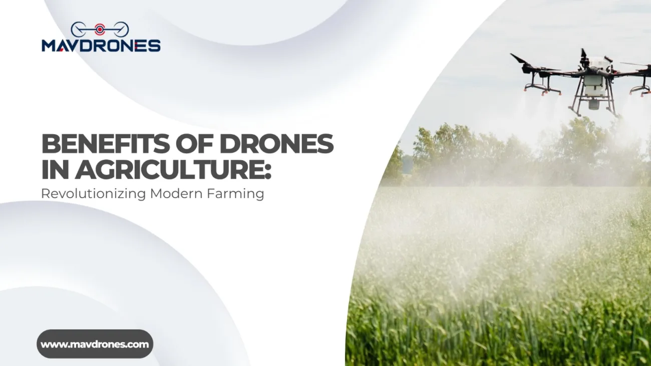
Benefits Of Drones In Agriculture: Revolutionizing Crop Monitoring
Precision Farming through Aerial IntelligenceAdvanced Crop Monitoring and Field ScoutingEfficient and Targeted Aerial SprayingSoil...
CEO, Mavdrones
Pradipta V Mukherjee is the visionary CEO of Mavdrones & Drone Pathshala, driving innovation and growth in the drone industry. With a passion for advanced technology, he leads the company's strategic direction, ensuring Mavdrones stays at the forefront of drone solutions. Under his leadership, Mavdrones has achieved remarkable success, including winning the 'Best Innovation and Technology in Drone Industry' award from ASSOCHAM. Pradipta is committed to revolutionizing the industry through advanced UAV technology, fostering a culture of excellence and forward-thinking within the organization.

You can see how this popup was set up in our step-by-step guide: https://wppopupmaker.com/guides/auto-opening-announcement-popups/